
 Lidar
Lidar & Topo Surveys
Lidar reaches the ground through trees and brush, giving you a true bare-earth surface tied to your control and ready for CAD.
- Bare-earth DEM
- Contours (DXF/DWG)
- Classified point clouds
- Cut / fill
- Accuracy report

Drone lidar for engineers, surveyors, developers and contractors. Bare-earth surfaces, contours, point clouds and cut/fill, tied to survey control and delivered ready for CAD. Plus roof, thermal and aerial services when you need them.


 Aerial photo
Bare earth (lidar)
A commercial building site covered in woods and brush. Lidar on a DJI Matrice 300 cut through the canopy to build a bare-earth surface, contours and cut/fill against the grading plan. Drag the slider to see through the trees.
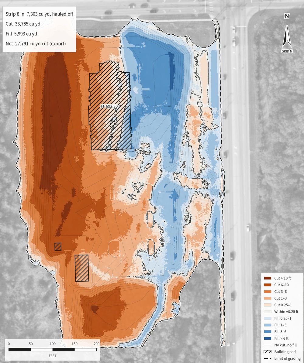
33,785 cu yd of cut and 5,993 cu yd of fill against the grading plan, mapped so the contractor can see exactly where the dirt moves.





Every job is planned, flown and processed by the same people, and every job comes with deliverables you can actually use.
LidarLidar reaches the ground through trees and brush, giving you a true bare-earth surface tied to your control and ready for CAD.
 Inspections
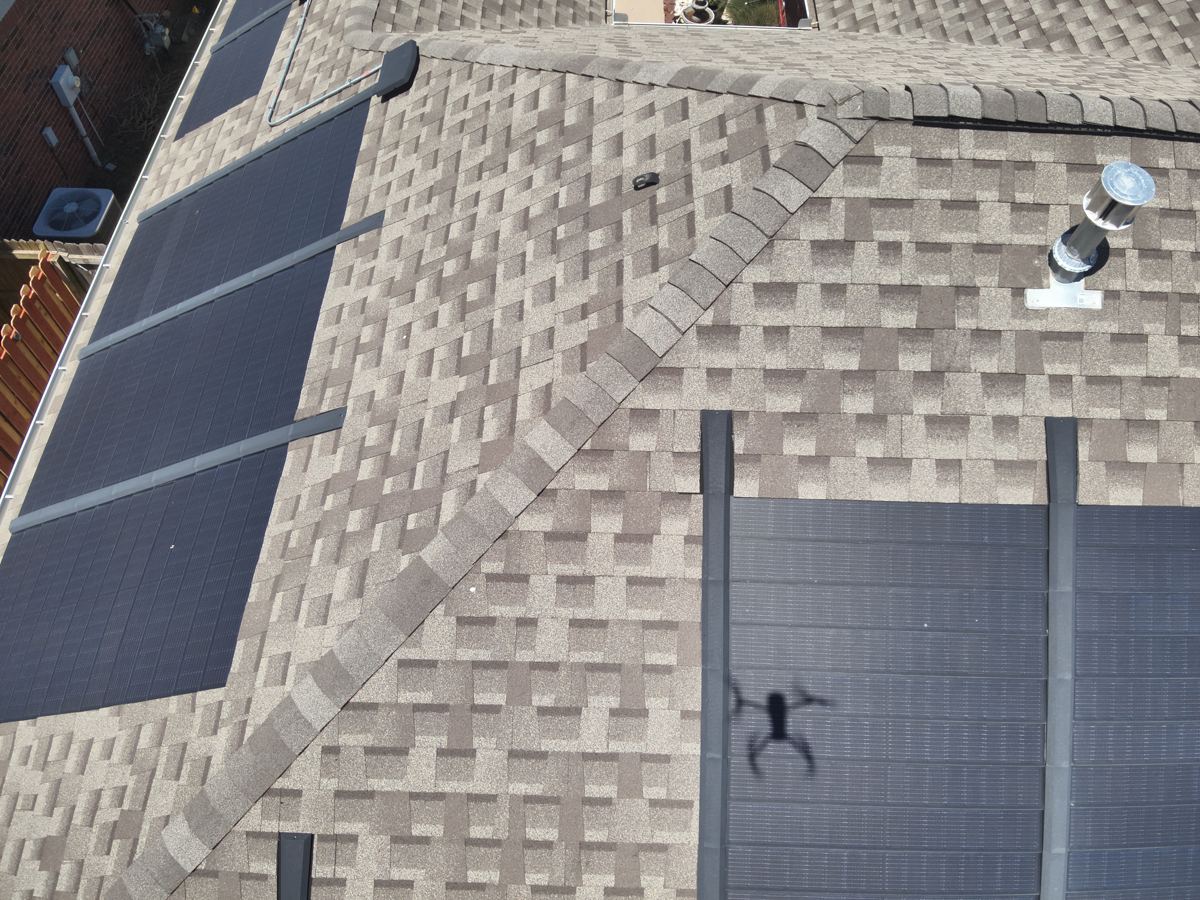
Close, high-resolution views of commercial and residential roofs with no ladders, lifts, or people walking on damaged areas.
 Thermal
Find trapped moisture, heat loss and failing insulation that a regular camera can't see, before it becomes a leak.
 Earthwork
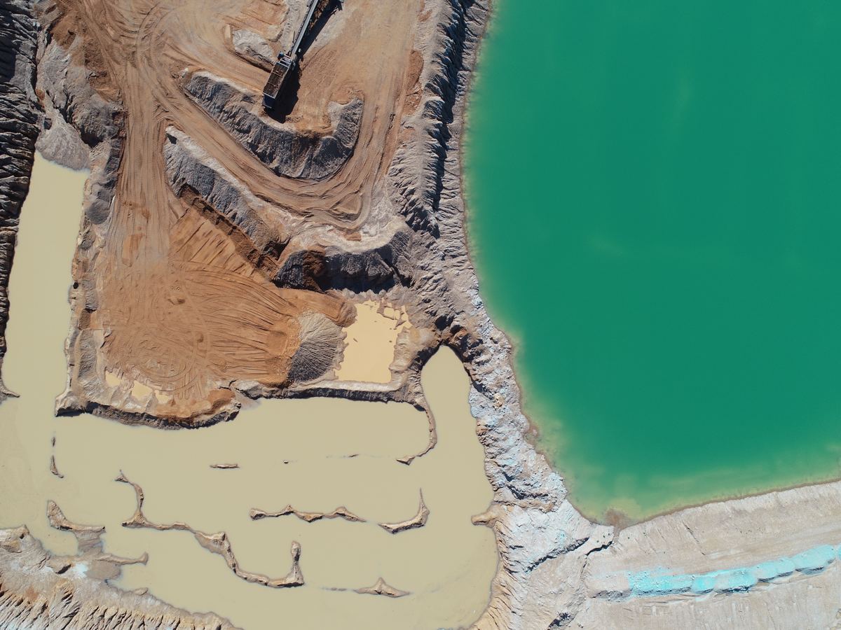
Stockpile volumes and cut/fill against your grading plan, measured instead of guessed.
 Construction
Repeat flights from the same angles so owners, lenders and teams can see what changed.
 Photo & video
Clean, bright aerial imagery for real estate listings, marketing, facilities and events.
 Mapping
High-resolution orthomosaics and 3D models for drainage studies, site planning and records.
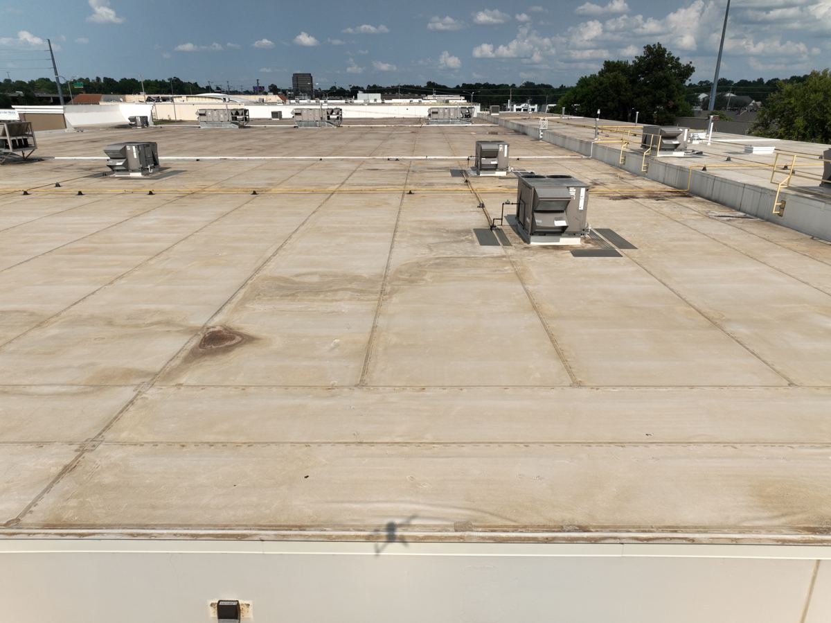
Wet insulation holds heat differently than dry insulation. Flown at the right time of day, a thermal camera shows exactly where water is getting in, so you repair a section instead of replacing a roof.
Pick what you need and we'll come back with a price and a flight date, usually within one business day.
We review the site, airspace and what you need delivered, then send a clear quote.
Authorized, insured flights, with RTK ground control when accuracy matters.
Raw data becomes maps, models, volumes, thermal findings or edited media.
A plain-English PDF report plus the files your team, engineer or insurer needs.
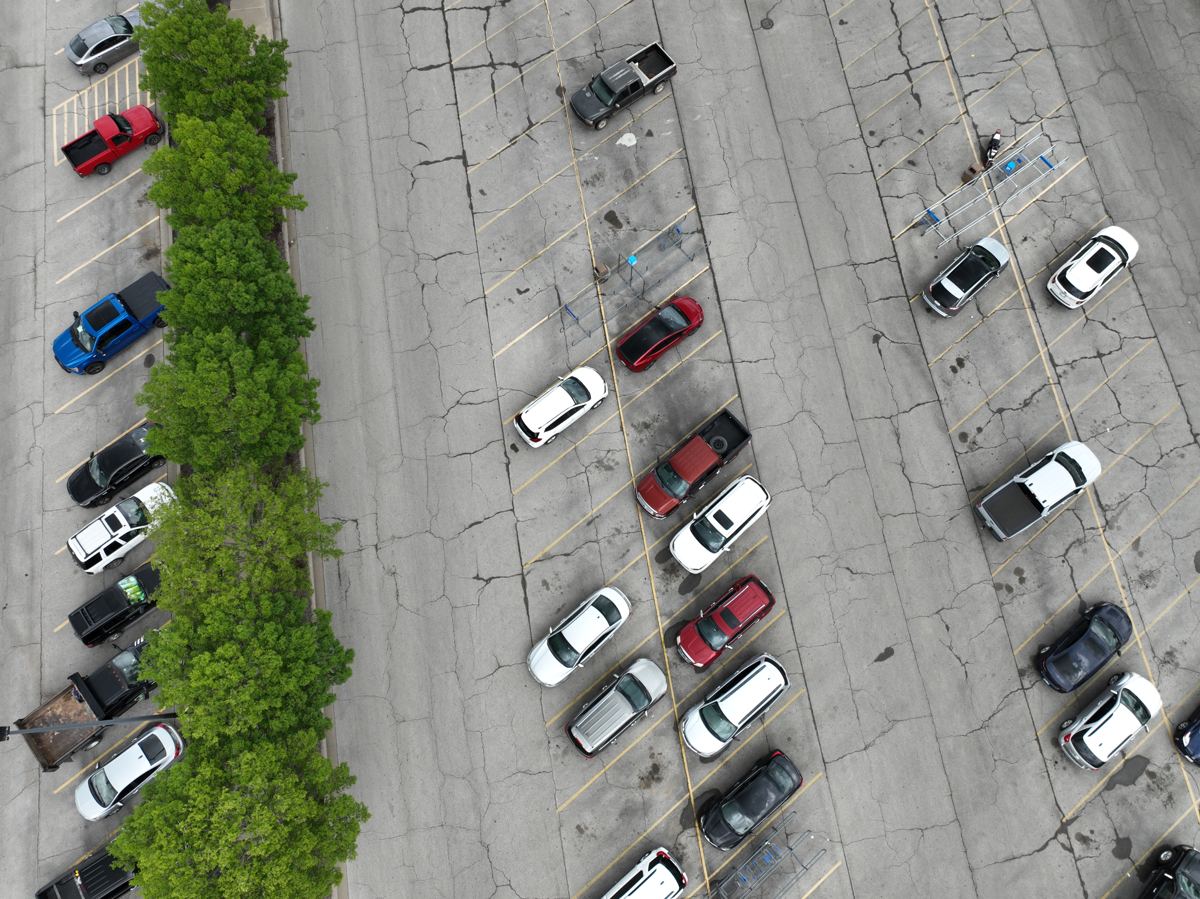
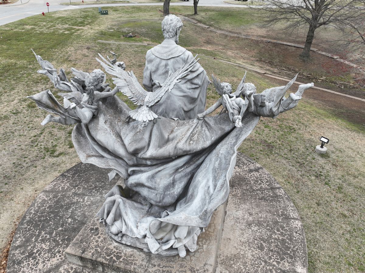
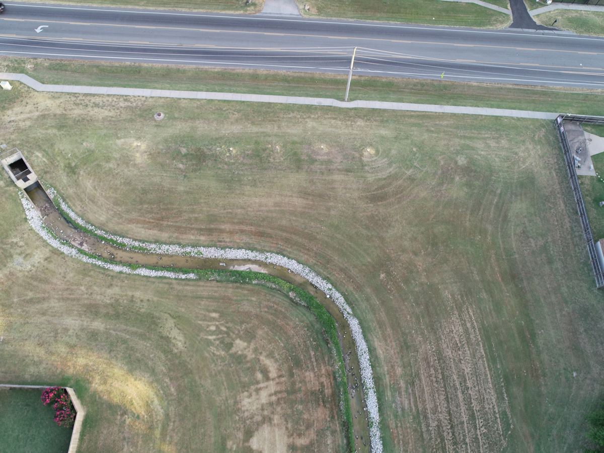
A few frames from roofs, job sites and properties we've flown. Click any photo to enlarge.

Tell us where it is. We'll tell you how fast we can be there.
Plan my project →